Today's Texas Adventure
In 1854, Lyman Wight and a small group of Mormons settled in a bend of the Medina River roughly on the Castroville/Bandera road. They were they for just four years before moving on.
They must have made an impression because many of my old maps and newspaper articles mention the "Old Mormon Camp." There wasn't anything left of the camp when Medina Lake inundated it nearly 60 years later
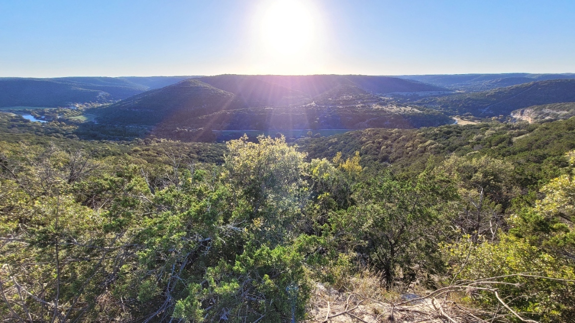
With Medina Lake nearly empty because of the drought, Dad wanted to see the town site. I did warn him there was nothing left of the town, and that even looking at the town site may not be possible because it can't be seen from the road, but we went anyway. What we did catch glimpse of were the Mormon Bluffs, which were directly above the town site.
I originally was gong to post this because the juxtaposition of an Austin School in San Antonio, the "We taught a burrito to drive, people are easy" is WAY funnier.
(Day Before Yesterday's) Adventures in Texas, Parte the Finale
After the skirmish site, we had a lot more time than we expected, so we headed out to do the Three Sisters Tour.
If you find yourself in the western Hill Country, you owe it to yourself to do the tour. While I tend to focus my Hill Country trips to the Austin/San Antonio/Fredericksburg triangle, it's 60% history, 40% beauty. The Three Sisters Tour is 90% beauty. I consider it the most beautiful part of the Texas Hill Country.
From Leakey, take Ranch To Market Road 337 (Sister #1) to Camp Wood, from there north on Texas 55 to Ranch to Market Road 336 (Sister #2). Turn right at Texas 41 and again on Ranch to Market 336 (Sister #3).
Fill up in Leakey, cause once you leave Barksdale, you're not seeing any towns for a LONG time.
1/
(Yesterday's) Texas Adventure, Parte the Fourthe
After the fight site, we hit Leaky. Despite being the county seat, I like to say it's so small that downtown only takes up the left side of the road. That also has the added benefit of being true. Not all of Texas' 254 counties HAVE to exist.
Steph's family has land out here. I can see why. It's beautiful.
Today's Adventure in Texas, Parte the Thirde.
After reading about a fight between thirty two settlers and natives, as told thirty years after the fact in 1890 (meaning the fight was in 1860), I tried for several years to find this site. I'm 90% sure this is it.
The keys were "a peak in front of a mountain range" "crossing a creek at a fork" and "Seco Canyon." There were several places whefre these fit, but this one fit best. My only real concern is that the article mentions that they visited a site "two miles above the Bandera Road"which WASN'T the site, and this site sits about three miles above FM 470 (Or the old Bandera Road).
The Story is at https://texashistory.unt.edu/ark:/67531/metapth466442/m1/3/zoom/?resolution=0.5&lat=6286.38456464337&lon=1981.1479523671396
The map is at https://maps.app.goo.gl/AzaMaLbidq7dxkkz8
And the pictures are below!
- Closetspace
- http://dolari.net/cs
- A Wish for Wings
- http://dolari.net/awfw
- The Dolari Library
- http://dolari.net
- Everything Else
- https://linktr.ee/dolari
- Artist for Closetspace and A Wish for Wings
- Associate Narrative Designer for Magic: The Gathering - Universes Beyond
- Writer for Sea of Legends
- One Enchilada Short of a Mexican Platter
- Opinions My Own
